


Fra Carnevale is one of the most mysterious painters of the Renaissance. There are only nine of his works in which architecture is the leading role. His most famous works are “Ideal City” (c. 1480), he depicts metaphysical cityscapes, utopias of order, and geometric purity. Around the same time, an Italian architect nicknamed Il He Filarete dreamed of another utopian city, Sforcinda. In fact, the very term “utopia” comes from the title of Thomas More’s work on ideal society and architecture. Fortunately, five centuries later, imagination has a technological ally to make things easier. Mobility and urban planning.
Urban design and the movement of people and vehicles are closely linked. From horses and carriages to electric scooters, different types of transportation have shaped cities.
Considering both factors can manage mobility in the medium to long term through urban planning or modulated by daily activity of the population, frequency of public transport, distribution of shared vehicles, or information about traffic jams and accidents. Therefore, in this article,
Big Data and Mobility in Urban Planning: A CityScience Lab Example
The future is very urban if we follow demographic indicators and UN projections. And in this exponential infrastructure growth, big data is destined to become a key tool in smart cities.
Through analysis using big data, traffic load for each area and route, Peak demand for public transportFor example, so-called heat maps are generated in this way, showing where congestion is at risk.
But big data allows us to go further. The wealth of information available has the potential to change road signs and even streamline the growth of cities and their connections.
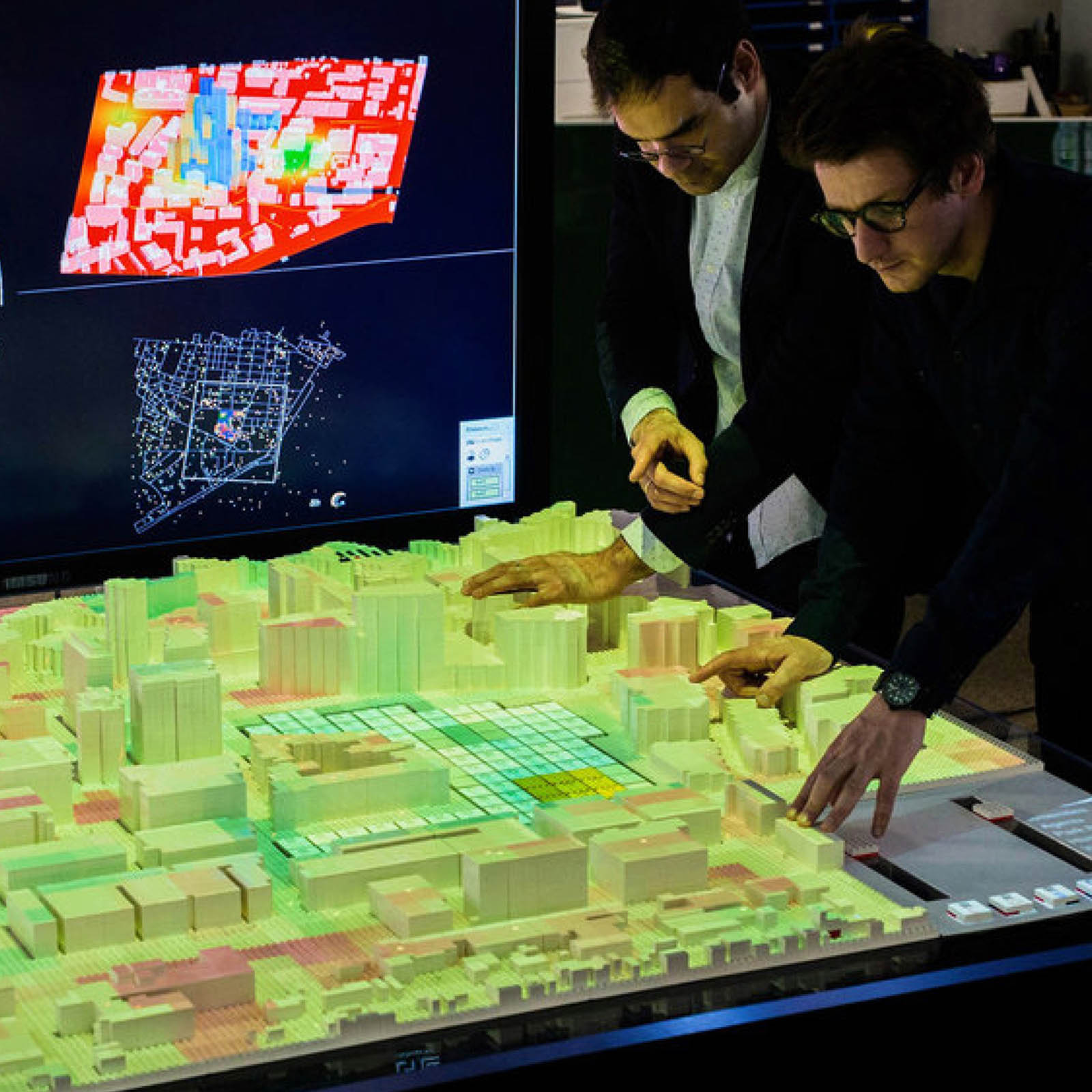
Much of this planning is facilitated by big data visualizations, such as the CityScience Lab project at the University of Hamburg.
The initiative, supported by the MIT Media Lab, brings together open data from the Hamburg City Council on building typologies and surface areas. It also incorporates data from transportation infrastructure and air quality, or anonymized data from smart homes.
This software allows you to generate what-if scenarios such as population growth impacts and population distribution. In line with these policies, CityScience Lab was used in his 2016 to house refugees from the Middle East.
The use of a 3D model of this German city within the project also stands out. A concept known as “Digital Twin” It consists of replicating all city data in real time. In this way, changes in traffic, power lines, signs, or the construction of new city roads are reflected in the digital version.
One of the first cities to debut a digital twin was Singapore, and the project is described here. Other important examples include Wellington, New Zealand, and Shanghai, which has over 2,300 virtual km2.
Big data and everyday urban traffic
Urban planning tends to be a long-term strategy, but mobility management is also relevant to the daily heartbeat of the city. Arriving at work can be an adventure in this fast-paced ecosystem, and finding parking can quickly become a nightmare. Bad means more air and noise pollution. Again, we are talking about what big data is.
parking lot management
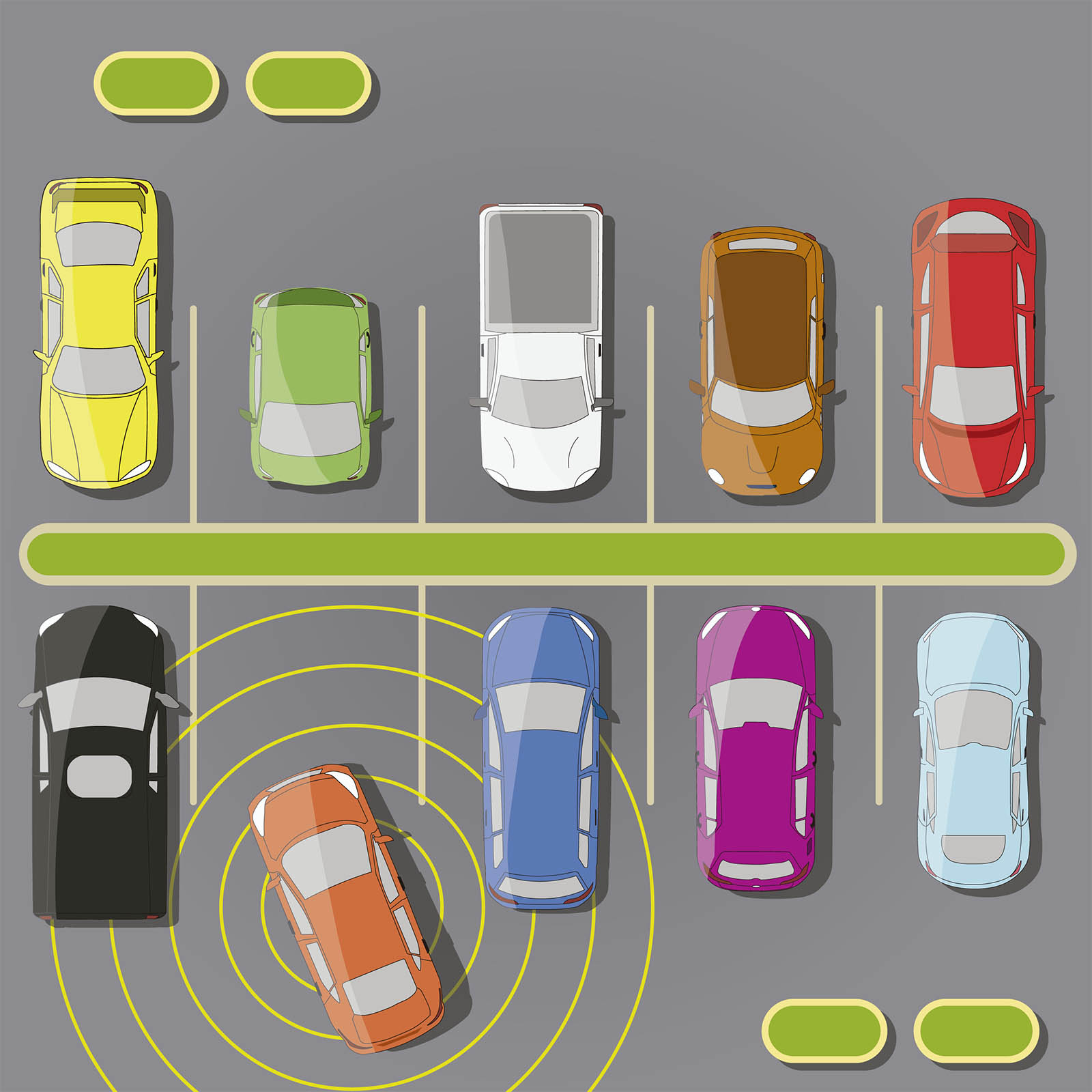
A key application of big data in urban mobility is the allocation of parking spaces. Some studies show that up to 30% of traffic jams are related to vehicles trying to park.
The system currently under development will work with IoT devices. In this way, data from parking meters and vehicles entering and exiting a particular zone can be combined to establish occupancy levels.
however, Mobility big data also enables the implementation of predictive systemsIn this way, we can suggest times and areas where you are likely to find free spaces without having to track individual spaces.
Accident and congestion prediction
As we have seen in the parking lot example, big data is a great resource for assessing urban mobility and predicting events. One of its latest applications came out of another MIT lab and basically: Predict traffic accident risk.
The system, based on deep learning models, is the result of a collaboration between MIT’s CSAIL and the Qatar Center for Artificial Intelligence. Researchers combined historical accident data, satellite information, road maps and GPS information into a database. In total, about 7500 km2 of urban areas and 7.6 million km of GPS routes were processed.
One advantage of this model is that it can be applied to identify trouble spots in areas with no previous accident records. It’s a work in progress project for now, but could potentially be used to aid urban planning.
Traffic jam Another area where predictive models based on big data can help improve mobility. Australia’s Swinburne University of Technology worked closely with Intelematics to create a new model that can predict traffic congestion with up to 96% accuracy and up to 60 minutes of forecast.
Car sharing and big data
If applications such as predicting traffic accidents or predicting available parking spaces are still in the early stages of development, the use of big data in shared vehicles is much more advanced.
Scooters, motorcycles, share cars (mainly electric) paradigm shiftBut they also pose many logistical challenges.
Dealing with issues such as vehicle charging, breakdowns and availability is primarily Up-to-date data you can trustIn parallel, knowing (and predicting) user behavior patterns requires data acquisition and processing using big data models applied to mobility.
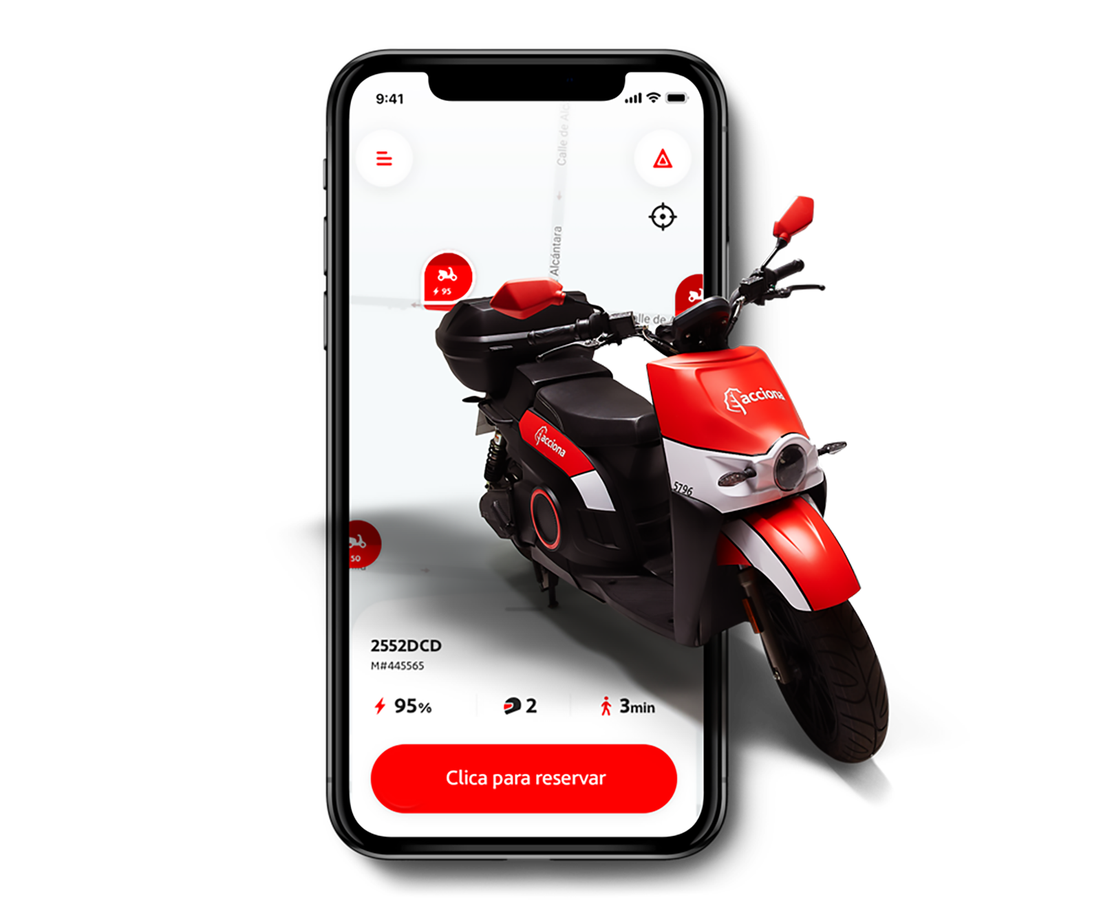
One example in this regard is ACCIONA’s work in the following areas: shared electric scooterThe company manages a fleet of bikes and uses big data to forecast peaks and areas of demand. The company’s motosharing app also calculates the amount of CO2 saved on each trip and the possibility of combining bike trips with public transport or nearby competitors.
The future of urban mobility
As for fusion, so long in development, there is a joking saying: “It is and will always be the energy of the future.” The same can be said for self-driving cars. Self-driving cars will likely remain the future of transportation for some time to come. But if you’re lucky, you won’t meet the fate of flying cars.
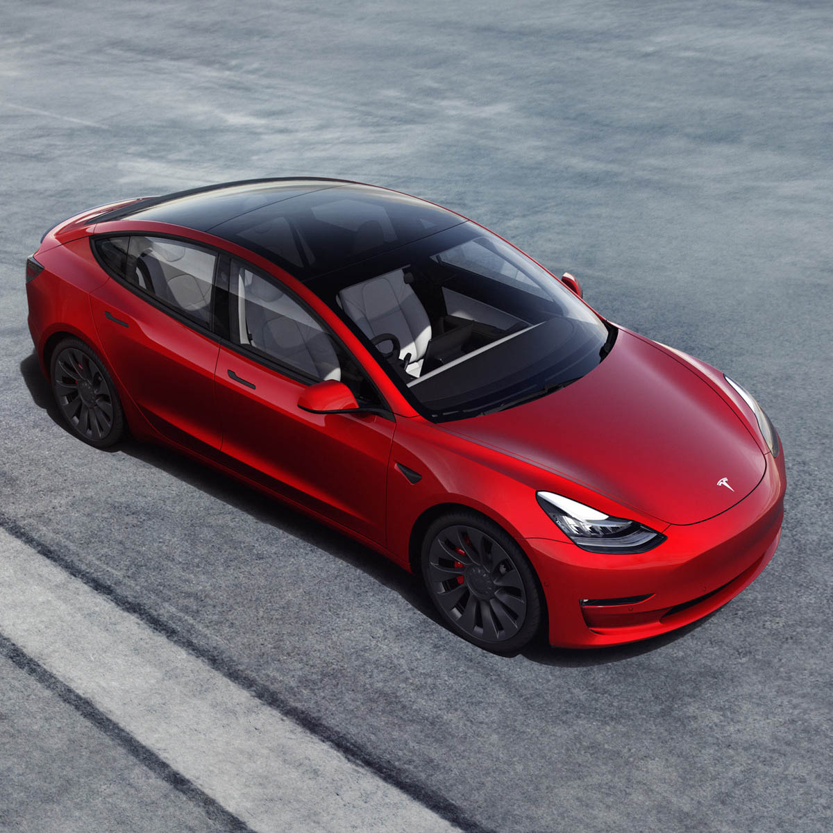
The only certainty is that self-driving cars are estimated to generate up to 40 terabytes of data per hour, so the use of big data in this area is essential. As explained by Venture Beat, the key, rather than advanced radar or sensors like his LiDAR, is A deep learning system based on simple video signalsTesla is currently processing data from millions of vehicles on the road to develop driverless models.
In short, with the advent of the big data era, transportation and urban mobility are destined to undergo the same revolution as other sectors such as e-commerce and social networks.
And the application of this technology promises to improve the sustainability and efficiency of the means of transport we use, such as scooters, motorcycles, cars, and even bipedal engineering systems.
sauce: Forbes, University of Cambridge, MIT, https://www.dezeen.com/2021/07/09/digital-twins-develop-cities-digital-design-architecture/