


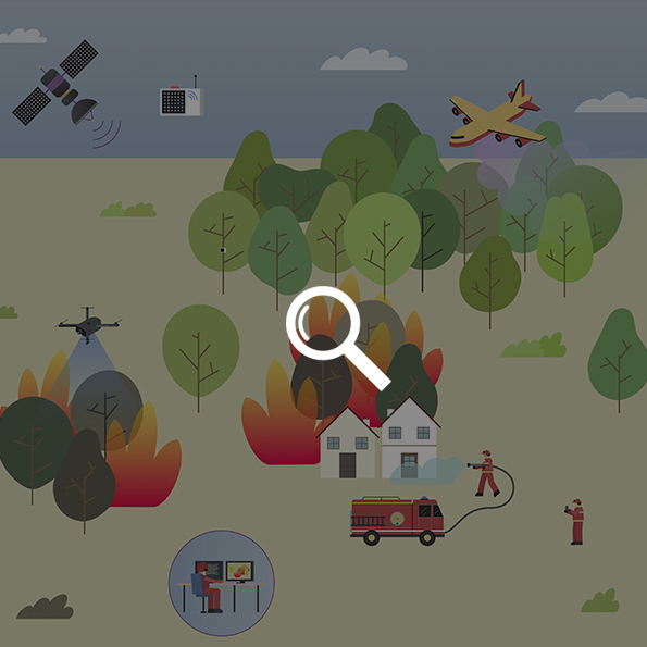
Fires in California and Australia last summer made headlines because of their incredible devastation. In the American states alone he burned more than 30,000 square kilometers. This is the equivalent of a third of him in Portugal. Serious environmental, human and economic impacts underscore the need to promote the use of new and more efficient technologies. This is to prevent and deal with them and protect the lives of those involved in the fighting. As in almost all technological fields, artificial intelligence plays a very important role, but it also accompanies other resources such as IOT, satellites and drones.
Real disaster simulator “WIFIRE”
The behavior of fire is almost as complex as the behavior of meteorology. Factors such as forest density, wind direction, tree types, humidity levels and slopes can radically change their behavior. Thus, the ability to predict changes in the direction and intensity of wildfires was the driving force behind the development of WIFIRE. It’s a simulator developed by the University of Maryland and several technology partners that can predict the path of flames and calculate outcomes for different scenarios in real time. This open-source software uses a variety of data sources, from satellites to weather stations.
IoT, sensors deep in the forest
The combination of renewable energy and sensors allows device networks to be installed where there are no power lines. For example, photovoltaic panels have been used for this purpose for many years. However, there is also a new generation of sensors based on the triboelectric effect. In other words, it uses static electricity generated by movement. In this case, it would be a branch swaying in the wind.
Add in IoT technology as well, allowing these sensors to communicate with each other and with your control center, and you have a powerful tool in the heart of the forest. One example is his IoT sensors, which perform two of his basic functions: fire detection and warning of high-risk conditions (extreme dryness, heat, etc.).
satellite, sky eye
The advent of high-definition satellites with high refresh rates and the potential to provide multispectral imagery, including infrared bands, will allow forest fires to be detected anywhere in the world. In fact, during the recent wildfires in California, satellites detected the fires breaking out before watchtowers and other methods. These satellites will also enable mapping of wildfires on a global scale, allowing researchers to understand the evolution of wildfires in areas most affected by climate change. Thanks to this viewer from NASA, you can see the various fires that have broken out in the world this year.
Artificial intelligence, a powerful ally against wildfires
Of course, all these data sources, along with other data sources such as drones with thermal cameras, present great challenges for analysis. How do you spot fire foci in thousands of square kilometers of satellite imagery? The key lies in the algorithms that can interpret these images. In addition, it can also process data from weather stations and his IoT sensors. So you can establish risk patterns and prevent fires before it’s too late.
But all this technology overkill is useless without individual responsibility in forest management.
Source: WIFIRE, NASA, country, scientific journal