



As happened on the Internet, The drone took off in a military environment where they stayed for a long time. But in many cases, technology permeates our daily lives. Reflecting this, in just a few years, These Unmanned Aerial Vehicles Are Now Real And now you can see them firmly established in almost every field: movies, security, agriculture, engineering, fire management systems, lifeguard services, and more. Just last year, I was able to witness the most exciting moments of the Rio de Janeiro 2016 Olympic Games. From above. But that’s not all. Let’s take a look at some of the drone-based uses that have already been implemented.
News of the harvest time of the grape
Agriculture is taking a big step forward when it comes to innovation.of Sensor type The ability to improve the performance of one of humanity’s oldest activities is increasing every day. The case of this Spanish wine company is a good example. Use drones and sensors to explore vineyards and harvest grapes According to the information provided by this technology.
This system is very sophisticated and precise. Winegrowers can predict the best time to harvest thanks to field imagery provided by drones from above and feeds from sensors on vine strength, chlorophyll activity or water stress.
For the delivery of pharmaceuticals
It has taken too long for the benefits of this technology to translate into humanitarian projects. in Rwanda, First large-scale drone flight carrying medical supplies and blood bags Access to hard-to-reach medical facilities is already underway. Drones are launched from a bow-like device to carry cargo unmanned and, once it reaches its destination, unload it by parachute to avoid damage. Then return to your starting point. Supporting a load of 1,5 kg / 3.30 lbs, the current range is 150 km / 93.2 miles.
Optimization of construction work
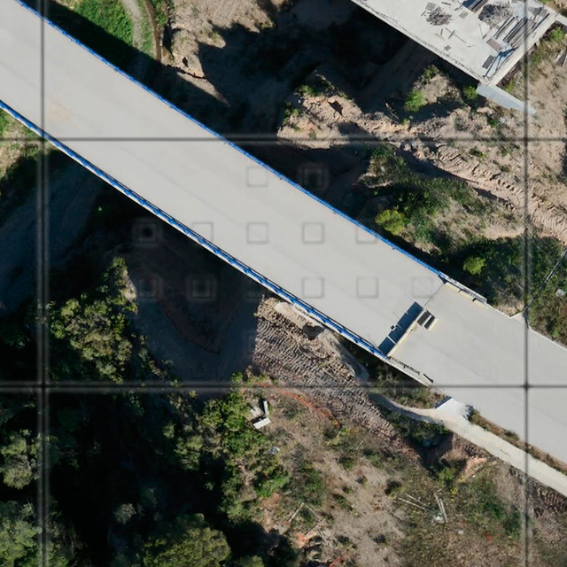
The use of drones in civil engineering is also becoming increasingly important.For example, it can be essential for research and demarcation new road layoutThanks to the 3D images collected by them, the vector mapping of the area tracked by the drones is up to 4 cm / 1.6 inches over a distance of 60 to 70 hectares, compared to an average of 2 or 3 hectares normally tracked. resolution can be achieved. .
to assist in rescue efforts
Drones have significant advantages over rescue helicopters. Capable of flying at low altitudes. Along with the ability to carry a high-definition camera, these features allow The Perfect Partner in Rescue Efforts in a forest or mountain environment. “LifeSeeker,” a system that can connect to a mobile phone and detect the exact location even if the battery runs out, is already in operation in Spain. A faster way to find missing persons and speed up rescue procedures.
inspect sewage
But drones are only useful at high altitude. They can do things and reach places where land vehicles are in short supply. European project ASRI seeks to use drones’ unique capabilities to inspect drainage systemsEquipped with navigation sensors, these multi-rotor aircraft can significantly reduce the occupational hazards associated with this activity while reducing maintenance costs.
means: Science News, BBC, Smartcity.es, Aeratp