




Deforestation not only causes the loss of important natural resources, it also contributes to global warming. Deforestation is responsible for about 20% of the world’s carbon footprint, which is more than both cars and trucks emit.
Large-scale deforestation in the Amazon began decades ago and has accelerated in recent years, making Brazil one of the most common. But forest loss in South America is not unique to the Amazon. According to a recent report published by MapBiomas, Argentina has lost almost 20% of its Atlantic Forest over the past 37 years.
Atlantic forest
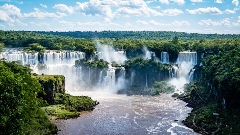
The Atlantic Forest spans Argentina (3%), Brazil (90%) and Paraguay (7%). It consists of more than 3,000 kilometers of tropical and subtropical rainforest along Brazil’s Atlantic coast, running inland almost 1,000 kilometers west of the sea, reaching northeastern Argentina and eastern Paraguay.
This complex ecoregion is home to beautiful natural landscapes and incredible biological wealth and richness, with 150 million inhabitants, about one-third of the population of South America. boasts a great deal of cultural diversity.
Home to 7% of the planet’s plant species and 5% of the vertebrate species, the forest sustains an amazing diversity of life. The importance of this ecoregion to global biodiversity and people is amazing, providing goods and services for the livelihood and well-being of its inhabitants.
Over the last 40 years, the area of the Atlantic Forest has decreased significantly. Today only 20% of his original forest remains. Over 80% of the original area has been deforested and many plant and animal species are endangered. This makes it one of the most threatened subtropical forests in the world.
Despite the fact that it contains one-third of the native vegetation, the Atlantic Forest is particularly rich in biodiversity and endemic species, many of which are threatened with extinction.
Evolving Platform, MapBiomas
This decline has made the Atlantic Forest a major focus of MapBiomas. MapBiomas is a network of NGOs, research institutes and technology start-ups that facilitate the production and use of high-quality data on land use and land cover management in South America and other tropical regions. This network collects data, information, methods and tools to improve decision-making processes for the conservation and sustainable management of natural resources.
The MapBiomas Trinational Atlantic Forest is one of the ongoing initiatives that are now part of the MapBiomas network (the rest being Brazil, Amazonia, Chaco, Pampa Trinational, and Indonesia). Starting with 1985 data, remote sensing from Argentina, Brazil, and Paraguay produced a map of land cover and land use in the Atlantic Forest.
Details of the work will be presented at a regional meeting in early October 2022. The new edition of MapBiomas Trinational Atlantic Forest 2.0 is the result of a collaborative network of experts in fields such as land use, satellite remote sensing, geographic information systems (GIS), and programming.
Annual land cover and land use maps from 1985 to 2021 were produced through the Trinational Atlantic Forest Platform. A new map collection showed that the biome has lost 11% of its original vegetation over the last 37 years. Specifically, in Argentina he lost 300,000 hectares of forest. This means that almost 20% of the forests that existed in 1985 are now gone. This is an average annual speed of 8,000 hectares, equivalent to over 11,000 football fields. The land occupied by these ecosystems is now used for agriculture, forestry, and pasture. The biggest change was the plantation area, which increased from 130,000 hectares in 1985 to 330,000 hectares in 2021.